Dooars Tourism|Dooars|Duars|Dooars Tour Packages
Dooars|Duars
Dooars|Duars : Political geography
The Dooars region politically constitutes the plains of the Darjeeling District, the whole of Jalpaiguri District and the upper region of Cooch Behar District in West Bengal and the districts of Dhubri, Kokrajhar, Barpeta, Goalpara and Bongaigaon in the state of Assam.
Dooars|Duars : Physical geography
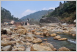
The altitude of Dooars area ranges from 90 m to 1750 m. There are innumerable streams and rivers flowing through these fertile plains from the mountains of Bhutan. In Assam the major rivers are Brahmaputra and Manas, and in northern West Bengal the major river is the Teesta besides many others like the Jaldhaka, Murti, Torsha, Sankosh, Dyna, Karatowa, Raidak, Kaljani among others.

Dooars|Duars : Fauna
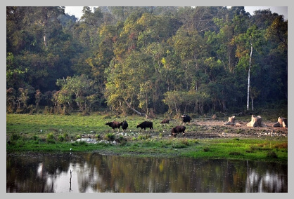
The banks of these rivers are favorite spot for the fauna of the region and one can easily spot animals during the early hours of the day or late in the evening. It is always advisable to visit these places either during sunset or during sunrise.Bison, deer’s, elephants visit in herd. Leopards are also found here.Thus, it is always advisable to have a guide while touring. Other animals which can be spotted are rhinoceros, Gaur, Asian Elephant, Sloth bear, Chital, Bengal Tigers, Indian Wild Dogs, Indian Wolf, Pygmy Hog, Giant Squirrels, Hispid Hare, Sambar Deer, Barking deer, Hog deer, Wild boar, etc.
Many wildlife sanctuaries and national park like
Manas National Park
in
Assam,
Jaldapara Wildlife
Sanctuary
,
Buxa National Park
,Gorumara National
Park
,
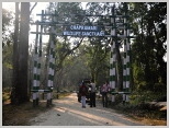
Chapramari Wildlife Reserve
and the
Mahananda Wildlife
Sanctuary
in West Bengal are located in this region.
Dooars|Duars:
Tourist Attractions
Dooars|Duars: How To Reach
2N 3D Dooars Package
